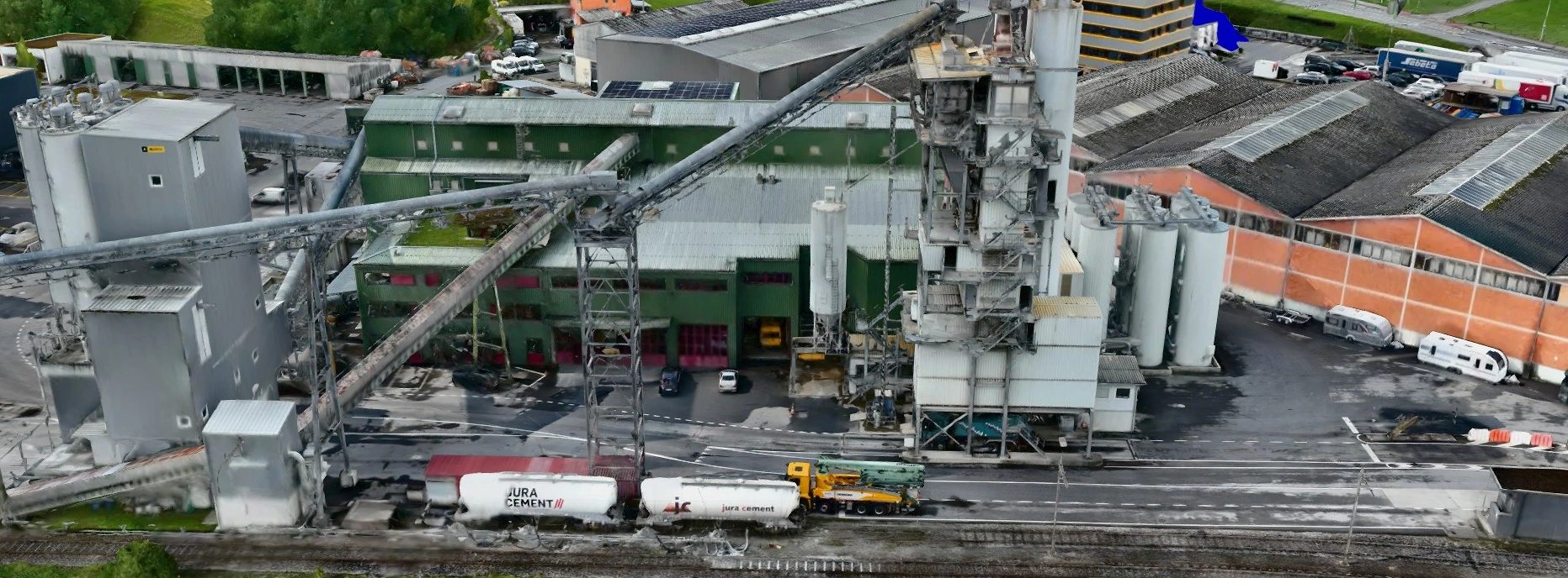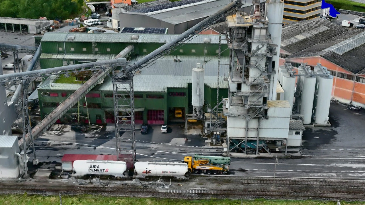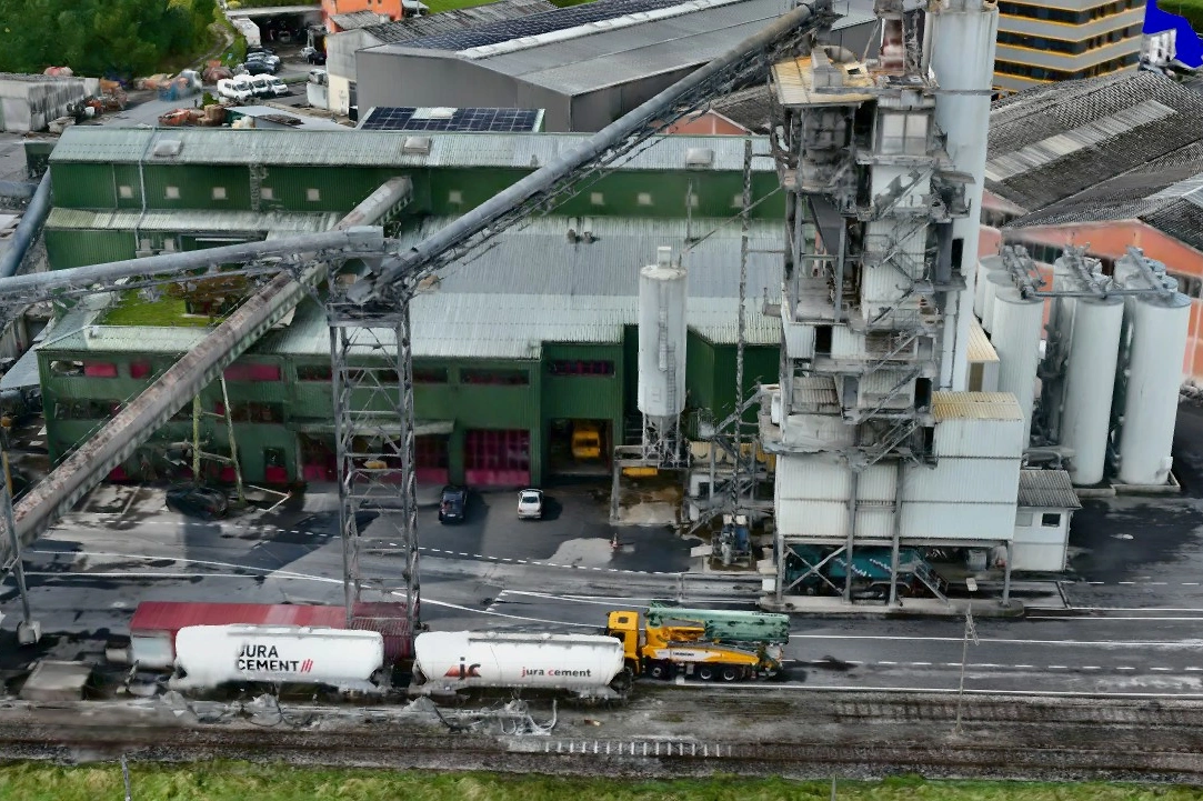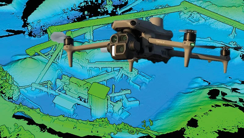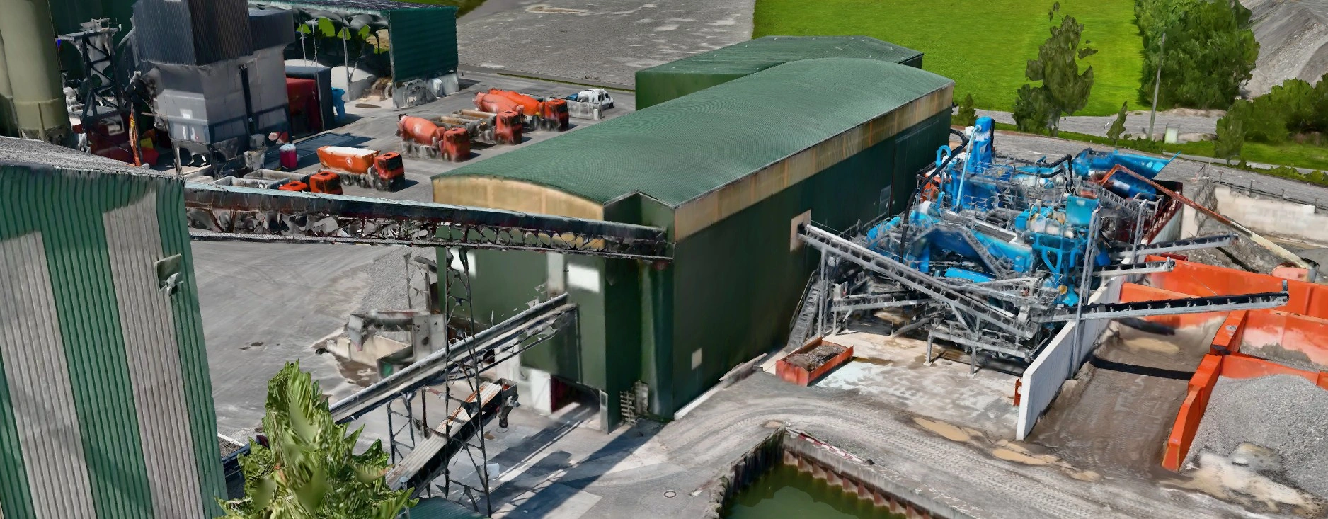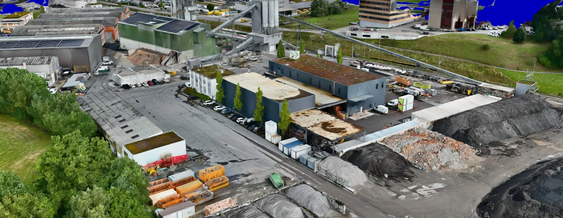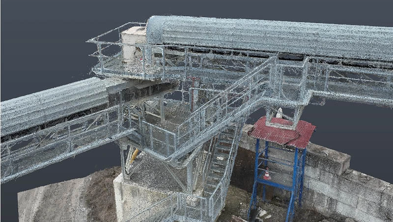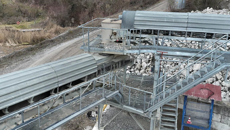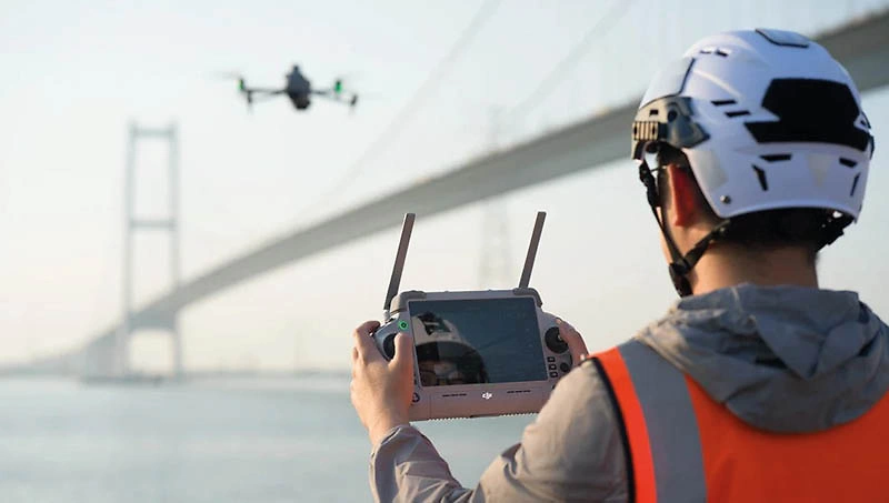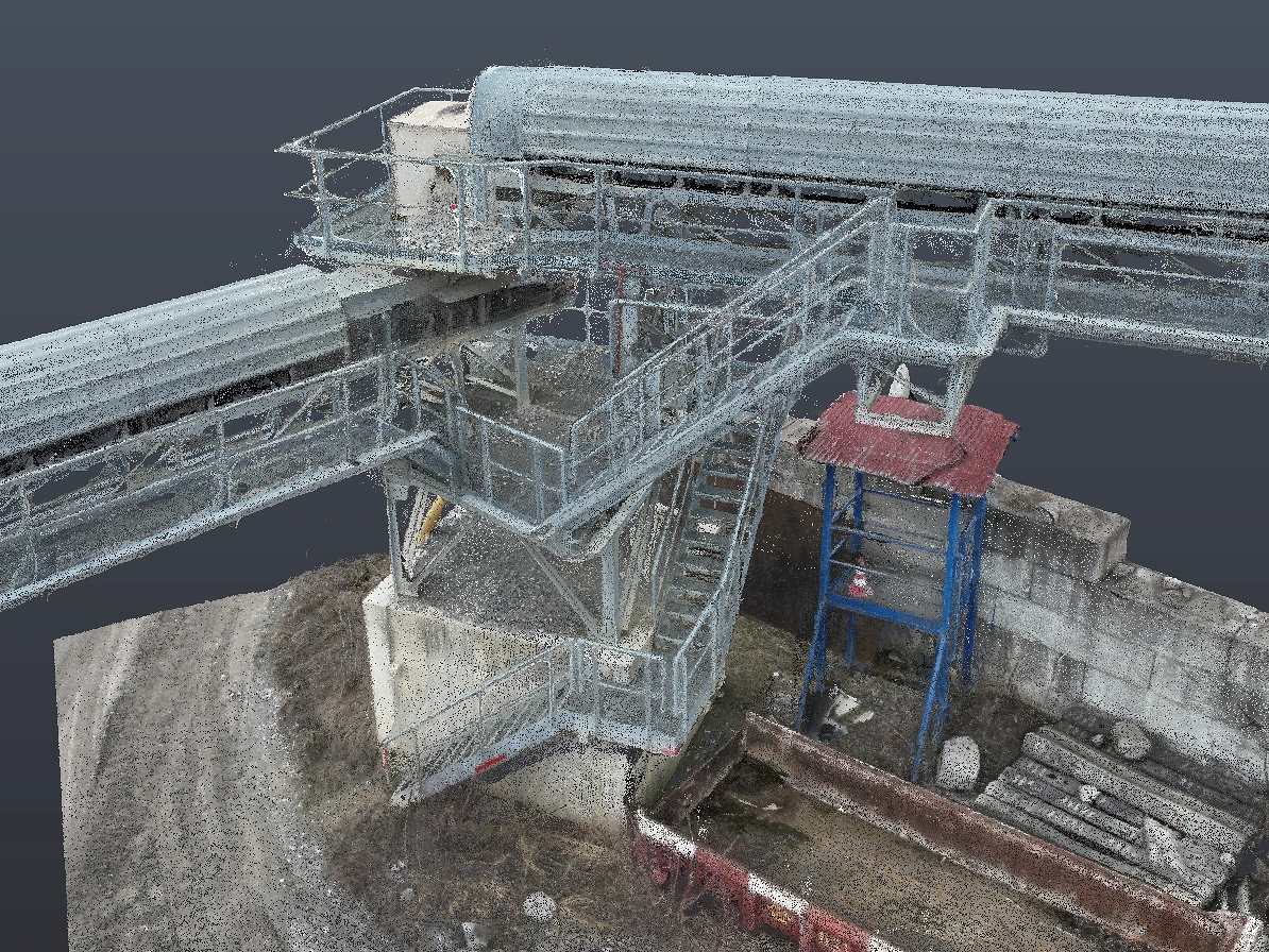
Using our professional DJI Matrice 4 drone and photogrammetry, we create high-precision 3D images. These images can be used to produce detailed point clouds, digital terrain models, as-built surveys and volume calculations, making them ideal for surveying, construction planning and documentation.
Thanks to the integrated RTK (real-time kinematic) module, we can achieve centimetre-precise positioning. Even large terrain areas can be captured efficiently in a short amount of time.
The 3D data can then be seamlessly, quickly and precisely integrated directly into our CAD system for further processing.
Interested? Contact us – we will be happy to advise you.
We offer professional drone surveying services for construction projects, terrain analyses and volume calculations.
Please note that a short lead time is required for the first flight, as a drone inspection must be carried out as required by the authorities.

